

Inside the catchment: The Broads and what nutrient work means for Britain’s largest wetland
The River Bure rises near Melton Constable in north Norfolk and runs south-east for around 50 miles, gathering the Ant and the Thurne before it meets the Yare at Great Yarmouth and empties into the North Sea. Along the way it opens out into the shallow, reed-fringed waterbodies that give the Broads their name. There is nothing else quite like it in Britain. The Broads form the country’s largest protected wetland, held under a status equivalent to a national park.
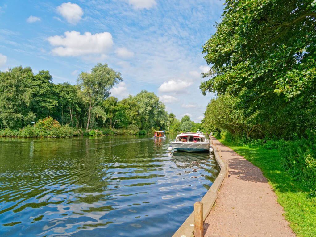
What makes the Broads internationally important
The Broads is a Special Area of Conservation and a Ramsar wetland of international importance. It is designated first for its habitats, not for a single headline species. The stonewort communities of its clear, shallow lakes, its calcareous and alkaline fens, its quaking bogs, and its floodplain alder woodland are why it was selected. Hickling Broad, on the Thurne, is the core of that interest. It is the richest site for Stoneworts in Britain, a large brackish lake whose water chemistry supports charophyte species found in very few other places.
Two species carry primary designation. The fen orchid and Desmoulin’s whorl snail, a small snail of wet fen vegetation that needs stable water levels and clean conditions to survive. Otter range across the whole system as a qualifying feature. Beyond the European designation, the wider Broads wildlife is part of the same living mosaic, from the swallowtail, Britain’s largest butterfly and found nowhere else in the country, to the bittern booming out of the reedbeds in spring.
A working landscape shaped by centuries of peat digging
The Broads are not a natural wilderness. They were made. From the Middle Ages onwards, this part of Norfolk was dug for peat, the main fuel for a densely populated medieval region with little woodland to spare. The digging went on for centuries and shifted an enormous volume of turf. As sea levels rose and the pits began to flood, the workings were gradually abandoned to the water, and the flooded diggings became the broads we know now.
That origin is the reason the broads are shallow. Hand digging never went deep, so when the pits filled they spread out wide but stayed shallow, rarely more than a few metres of water over the old peat. The shape of the landscape today, open water fringed by reed and fen, is the direct legacy of how it was worked.
That shallowness is not just a feature of the scenery. It is the reason the Broads react so quickly to whatever enters the water.
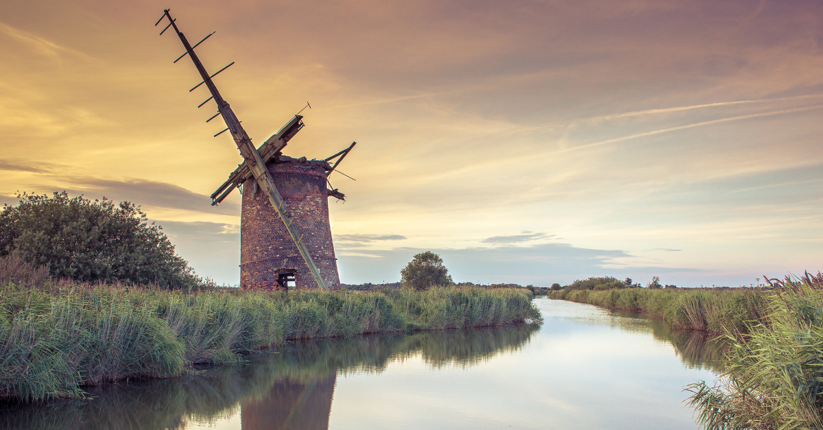
Brograve windmill on the Norfolk Broads.
What too much nitrogen and phosphorus does to a shallow lake
Shallow lakes are unusually sensitive to nutrients. In clear water, submerged plants and Stoneworts hold the system in a stable, plant-dominated state. Add too much nitrogen and phosphorus, and that balance can tip. Algae blooms and the water turns opaque. Light no longer reaches the bed, and the plants that define the habitat disappear. Once a broad flips into that turbid state, it is slow and costly to bring back, as decades of restoration work on broads like Barton, on the Ant, have shown.
This is why the Broads are protected for water quality, and why the designation covers both nitrogen and phosphorus rather than phosphorus alone. Nitrogen matters here in a way it does not in many chalk-stream catchments.
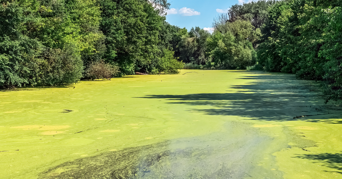 Dense algae-bloom
What Nutrient Neutrality means for building in the catchment
Nutrients reach the Broads from more than one place. Agriculture and other land uses across the catchment are a significant source, and existing development plays its part too. Nutrient neutrality, though, is concerned with the additional load that new development brings. For a new home, holiday let, care home or sometimes even a new annex added to a property, that load comes mainly through wastewater: more people in the catchment, and more nitrogen and phosphorus reaching the water in the sewage they generate, even after treatment.
In March 2022, Natural England advised every Norfolk planning authority that new development adding nitrogen or phosphorus to the Broads catchment could not be permitted unless it could demonstrate nutrient neutrality. Seven authorities are affected, together with the Broads Authority. The advice covers the northern Broads through the Bure Broads and Marshes, Ant Broads and Marshes, Upper Thurne Broads and Marshes and Trinity Broads sites, alongside the Yare system to the south. That advice was later put on a statutory footing. In 2024, using powers introduced by the Levelling-up and Regeneration Act 2023, the catchment was formally designated as nutrient-sensitive under the Water Industry Act. In protected catchments across England, housing and overnight accommodations are often postponed until nutrient concerns are addressed.
What NRC does in the Broads
The Broads catchment is NRC’s home region. Our factory sits just outside Norwich.
Our work here is straightforward. We find homes running old or failing septic tanks and replace them, free of charge, with Graf One2Clean treatment plants assembled and calibrated at our factory.
That upgrade is where the reduction comes from. An old or failing septic tank or Sewage Treatment plant can let poorly treated effluent seep towards the water. A Graf One2Clean is a sewage treatment plant which ensures that the water reaching the ground is cleaner and lower in nutrients. Each unit is monitored once it is in the ground, so the reduction it delivers is measured and verified, then made available to developers as nutrient credits to meet their planning condition.
If you are building in the Broads catchment and your scheme carries a nutrient requirement, we can help.